Tongariro – The Film Star among Volcanoes
The Tongariro Alpine Crossing is one of New Zealand’s most known hikes, a so called Great Walk and like the name already tells visitors can cross the massif of an active volcano. In particular movie fans will know about this place from the epic “The Lord of the Rings” trilogy as it is the place where finally gets rid of evil ring. Today and in the real world countless tourists are meandering along the foot of the picturesque Ngauruhoe cone and do the climb up to Red Crater, Emerald Lakes and Blue Lake.

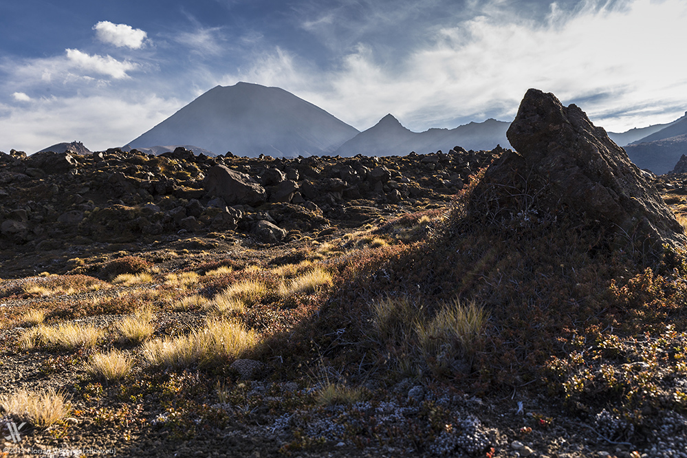
Mount Tongariro is an active volcano of the Taupo volcanic zone. Together with Mount Ruapehu its exposed massif can be spotted already from the far away distance and it is pretty much a magnet to both, clouds as well as human visitors. The most impressive part of that ensemble is undoubtedly the almost perfectly looking Mount Ngauruhoe what is known to film fans around the world as Mount Doom. Crossing Tongariro’s massif is something that actually no New Zealand visitor ever missed.


Having returned from summiting Mount Ruapehu I needed to rest a night. However, despite all exhaustion the sunset that evening becomes literally breath-taking as the whole volcano complex gets illuminated. First it appears rugged and farouche dark but turns into a colour play of golden yellow emphasised by the dry land at its feet.


Then our sinking central star illuminates small clouds hovering above the crater rim red, making the volcano looking as if it would release the inner earth’s fire. After that short fireworks ended and only residual light lit the atmosphere, the fire mountain appears more Hello Kitty like than what Doom stands for as it put on a through and through violet robe. An optical delectation!


For me crossing the Tongariro begins the morning after with waiting, with lots of long waiting. Generally the rush is always big and the parking lot small, hence the Department of Conservation (DOC) regularly closes the access road early in the morning. I am not the only one waiting to get admitted hence we kill the time chatting a little. For example I talk with a Danish doctor who emigrated to New Zealand a couple of years ago but is still waiting to get his working permission as even that small country has pretty much bureaucracy on-going.


All in all we are waiting several hours to become admitted and to make it to the parking lot at the end of Mangatepopo Road. Why are we waiting? Well, because no one likes to hike additional 7 kilometres after having finished the actual Tongariro Alpine Crossing, not because of the distance, but because of walking on an ugly dusty gravel road. Another option would be to take a shuttle bus from Whakapapa Village or any other near by accommodation, though they would be everything but free of charge.


Putting together the correct equipment, photography-wise as well as in terms of clothing, is essential, in particular when it comes to sturdy shoes, base layers and wind-proof outfit. On the trail you’ll meet enough fools who did not pay any attention to the word “alpine” and who regularly fail to finish the hike standing around shaking due to climatic surprises or looking even more helpless than a dog on the way to a Chinese restaurant since they ricked their ankle because of wearing light sports shoes only.


 in the background")

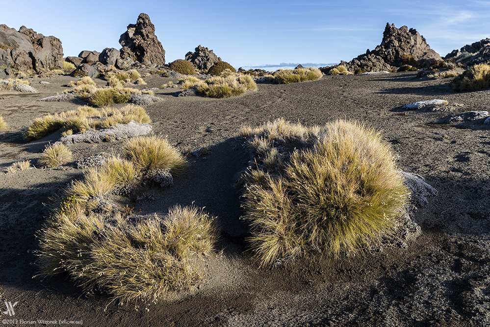
Many tourists think the crossing is tough and exhausting. Well, as somebody who normally summits volcanoes hiking through fields of razor-sharp volcanic debris I can only smile about the Tongariro Crossing as infra-structure-wise, having signposts as well as being almost paved, it is pretty much accessible and I wouldn’t wonder to see wheelchairs up there. However, no matter if up or down, the first kilometres are actually not an all too big deal.


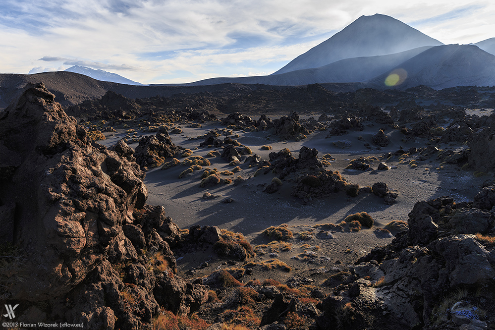
Mount Ngauruhoe is not significantly active. From time to time there is only a small fumarole visible on the northern crater rim. Though it pretty much dominates the scenery and has even an impact when some shorts or bikini wearing tourists spoil the picture by crossing the plain at its bottom. Standing on the rim leading to Red Crater and watching all the lines originating from the main crater walls and finalising in Ngauruhoe’s summit is quite an optical delight, even for volcano professionals.

The cherry on the cake that day are the fluffy clouds moving from the West to the East, following the main weather direction, like being painted in the sky. They are most welcome. Photographically they kick all images up a notch by creating shadows and painting light spots all over the black lava rocks. Another benefit is their protection from the blazing sun, which shines always very intensively in such exposed volcanic areas like the crater bowl of Tongariro is.


Technically seen Mount Ngauruhoe belongs to the Tongariro volcano massif and arose about 2500 years ago, hence the volcano complex consists of several appearances of volcanic origin. After having passed the main crater, meaning the plain at the bottom of Ngauruhoe, the trail leads upwards to the Red Crater. Like the name already expresses Red Crater impresses with its colourful, basically reddish rocks and its abyss-like drop-off. Many people stand awe-struck on its rim and look down almost hundred metres deep. The crater inner of Red Crater shows some traces of post-volcanic activity as some hydrogen sulphide contaminated fumaroles emerge from holes among the rocks.


For day visitors of the Tongariro Alpine Crossing the Red Crater puts an end to their hike as according to DOC they wouldn’t make it back to the car park in time. People wanting to go further need to book an overnight stay in one of the huts around; then time-wise they can afford ascending to the Emerald Lakes and having a closer look at them instead of watching from above only.


 und Mount Ruapehu")


In the vicinity of the Emerald Lakes also sulphuric fumaroles, even larger ones than inside Red Crater, emerge from the ground. Standing at the three Emerald Lakes you can decide to proceed on to Otuhere hut or can even give Blue Lake a visit after a short hike up. However, there the hike is definitely over…,


…, as the DOC temporarily cut off the classic hiking trail leading down to Ketetahi since the northern Te Māri craters are currently active. I would have loved to photograph and film the activity – large, sometimes even explosive fumaroles – as close as I can but the pilots navigating the noisy scenic flights flying their circles above the volcano complex every 30 minutes anew split on all “intruders” to the DOC and back in the valley DOC fines them, significantly.


Well, since I met a pretty uneducated couple from the „Land of the Free“, the democracy exporter number one in the world, the USA, putting their nose right into the most dense fumaroles then wondering why they feel quite sick, I guess that the decision to cut off the hiking trail before reaching Te Māri and their activity has quite a realistic background. The fumaroles near the Emerald Lakes look weak at first glance, but you never know what arises from the volcanic ground and its concentration.


After having passed the Emerald Lakes I hike on to reach the Otuhere hut where I want to spend the night. The path leading through rugged lava remains seems to have no end. Having finally arrived the hut shortly before sunset whole Germany seemed to be there already. Unbelievable but true 70% of the hikers were from my home country, the rest came from France as well as the U.S. American couple mentioned before. New Zealand is full of German travellers and it is not all too far fetchted when thinking that our Minister of Finances has no one left to pay when another Euro rescue fund is about to become set up.


Before it is time to see our beds we’re having quite a hut jamboree while the sun gives us a really nice sunset with lilac illuminated ice clouds in the sky. On that evening I meet two girls from France and we decide to walk back together to Whakapapa Village the next day. Time-wise crossing the volcano complex again would have been faster, on the other hand weather and first of all light wasn’t all too good. To boot the different route offered a more diverse perspective plus fresh water supply along the way.


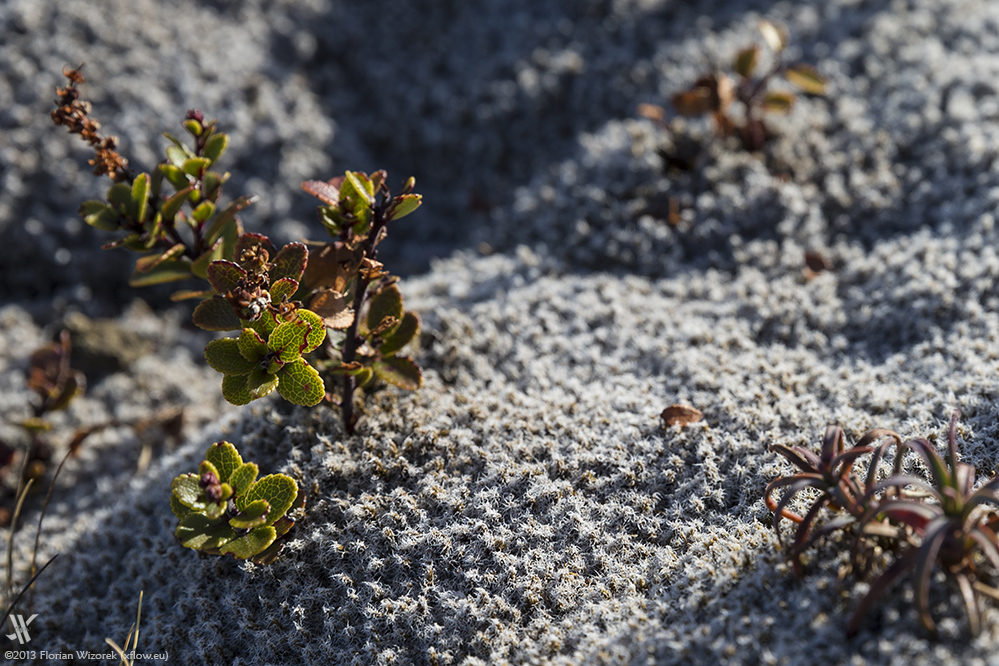
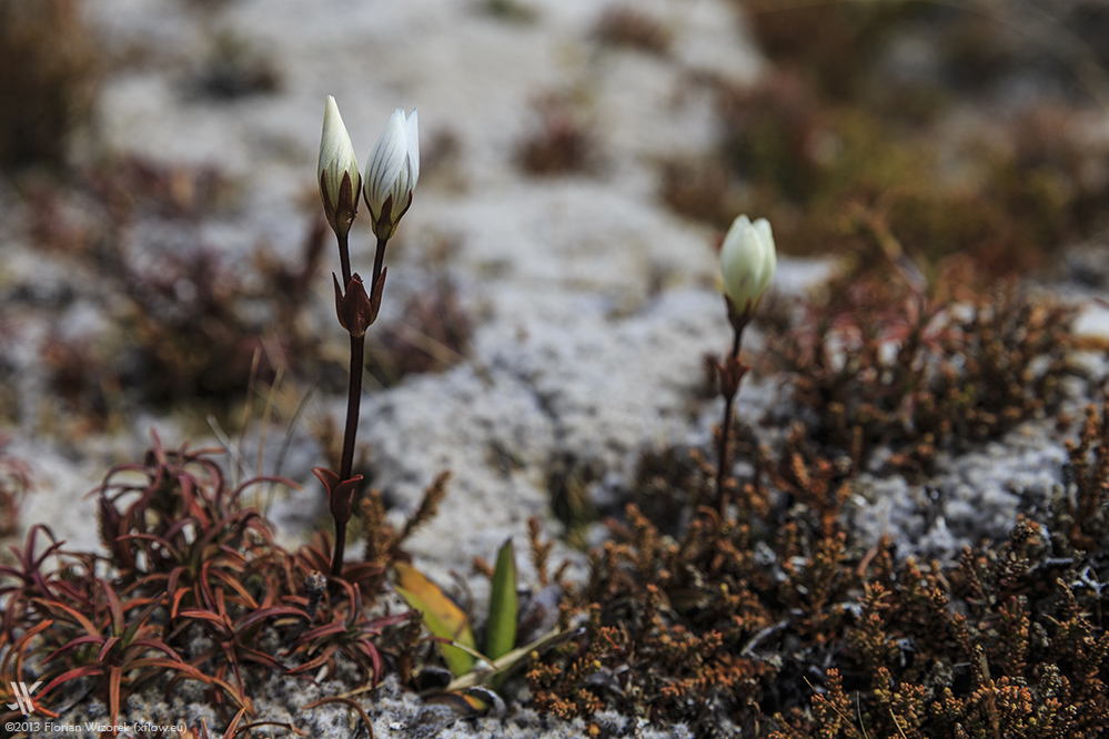
The fresh water creeks to the south of Tongariro invite for refreshing face, feet and also my water balance. It tastes wonderfully mineral and way much better than the purified swimming pool-like stuff my hiking fellows are carrying along. However, that creek water contains little more sulphites which can trigger significant diarrhoea.

The clouds on the second day of my hike are denser and make temperature being chillier but if there’s a hole and the sun shines through then sweat starts to run. The French girls change their clothes quite often to handle that climate. Fortunately I wear Merino woollen layers, which warm me when I need warmth but are also pretty breathable. Merino woollen layers, the best thing coming from the land of the Kiwis!


My feet are calloused and hurt as hell. The damn path leading from Otuhere to where I started the day before is flat and not hard, but has noooooo end… And again it’s going up and down again. Finally, after having hiked the whole day, the huts and houses of Whakapapa Village appear at the horizon and give. The girls give me a lift to Managatepopo Road where I parked my car and I can lastly return to civilisation.

And as if Tongariro wants to say Goodbye the sunset becomes even more stunning than what I have seen so far. Massive clouds hovering above the volcano complex that even form a beautiful lenticular storm cloud get painted orange, dark red and violet by the setting sun. Again the black volcano cone literally glows. And all that graced with the shape of nearly full moon. What a farewell…


